
Mountain road
Sally Gap: the highest road near the city
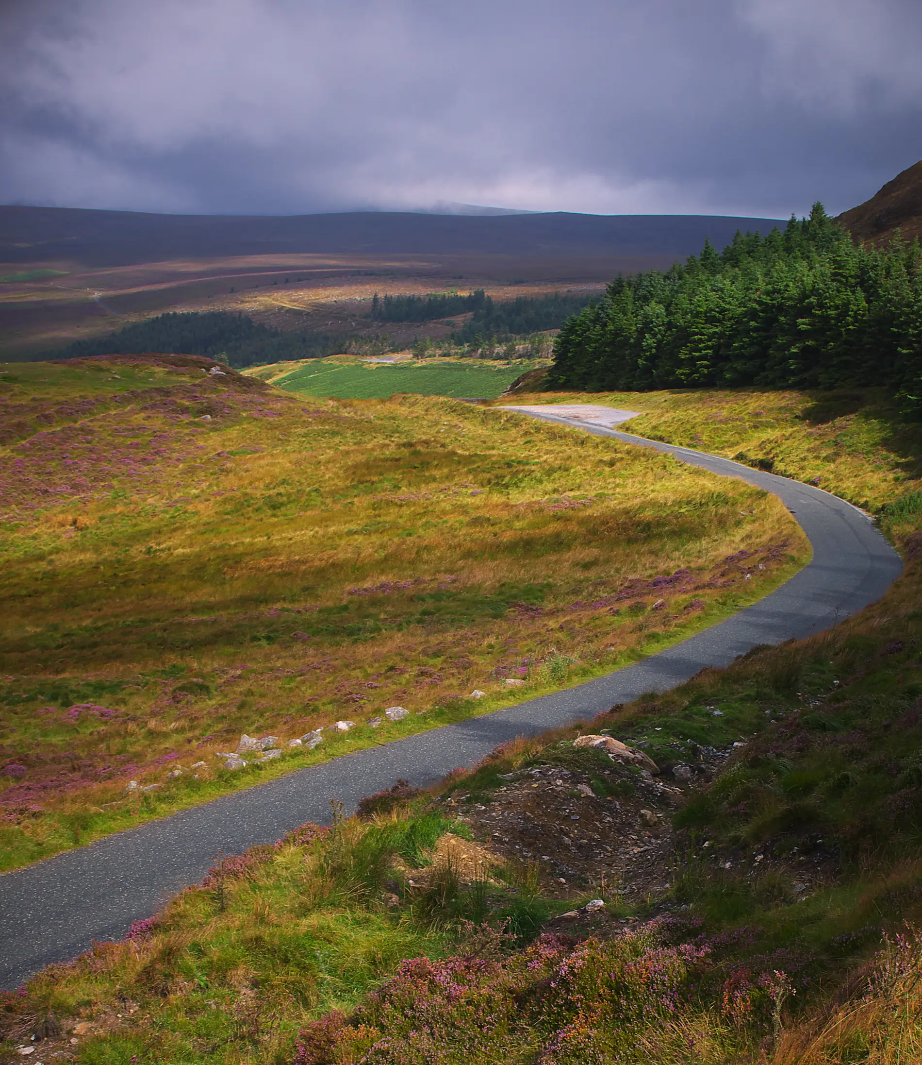
Sally Gap lies in the Wicklow Mountains, about an hour from Dublin. It is known for the view, but it is known too for conditions that change quickly.
A clear note
This is not a motorway route. It is narrow, it winds, and it is liable to closure during winter or in bad weather.
There are few places in Ireland with the kind of contrast that belongs to Sally Gap. You are thirty kilometres from the city centre, and then you are in the middle of a mountain with no house, no light, nothing but the road.
The route is made up of two regional roads that meet: the R115 and the R759. They come together at a crossroads high in the mountains, and that is the place known as Sally Gap.
What you will see
What you see above all is the landscape itself: bog, mountain and water. Lough Tay is visible from parts of the road, and there are other views that open and close as you move.
It is a kind of beauty that is rather quiet. It is not the kind of view you find at the Cliffs of Moher — it is broader and higher.
The weather: the most important part
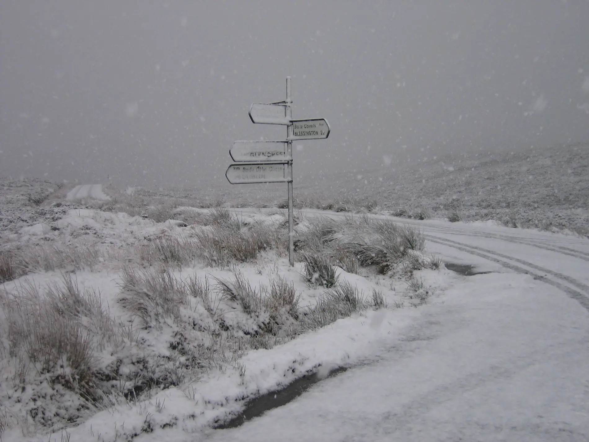
Sally Gap is one of the places most exposed to unsettled weather. Fog can arrive suddenly, and the temperature can be far lower than it is in the city. In winter, snow or frost can make the road unsafe.
We do not forecast or advise on when it is right to go. We can say that a weather check is needed beforehand, and that flexibility is needed if the conditions change.
A narrow road
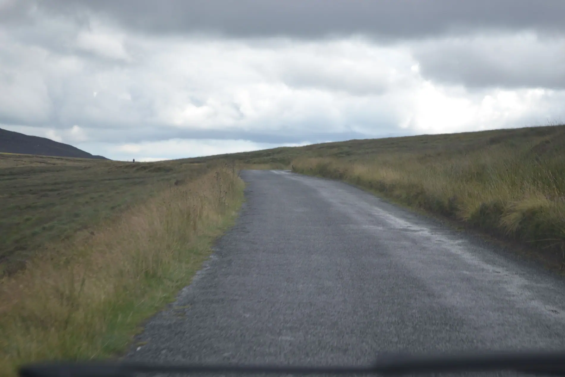
Parts of the route are too narrow for two large vehicles to pass one another. Be ready to stop.
How to plan the route
Sally Gap can be done as a day trip from Dublin, but it need not be done in full. There are several points at which you could turn back, and the route can be divided into sections.
If you are coming from the city, the simplest way is to use the southern side to come in, and the northern side to go out. That gives you the chance to see the road from both directions.
Frequently asked questions
Can Sally Gap be done by bicycle?
It is a popular route with cyclists, but the climbs are considerable and the conditions changeable. We make no recommendation either way.
Is there parking?
There are a few small spaces near the crossroads and at viewing points. They can fill early.
Is it safe to drive at night?
There is little lighting along the route. If you are going to do it at night, be ready for other vehicles and for animals.
Why is it called Sally Gap?
The name is historical. A “gap” in this context is a pass between mountains, and passes have often served as crossing points.
Editorial
Content is written and reviewed in accordance with our editorial policy.
Corrections
If you spot an error, let us know at [email protected].
Contact
m50nline, 73 Clontarf Rd, Clontarf East, Dublin 3, D03 EP93, Ireland
+353 1 833 6364